EO Satellites
Directory of EO Satellites
Across the Atlantic region, a vast and growing network of Earth Observation (EO) satellites continuously scans the oceans, atmosphere, and coasts - delivering an unprecedented flow of data to support maritime innovation, sustainability, and safety. From high-resolution radar imaging to multispectral and hyperspectral sensing, today’s EO assets provide near real-time insight into the state of the sea, the movement of vessels, and the health of marine ecosystems.
These systems - operated by ESA, NASA, EUMETSAT, and commercial providers - collect a wealth of complementary measurements: sea-surface temperature, height, and colour; ocean currents and wave patterns; air quality and ship emissions; and even subtle changes in coastal morphology. Together, they form the backbone of a modern digital ocean, underpinning applications across renewable energy, fisheries, navigation, pollution response, and climate resilience.
The following overview highlights key satellite missions contributing to Atlantic maritime monitoring and innovation:
Sentinel-1
Learn More >
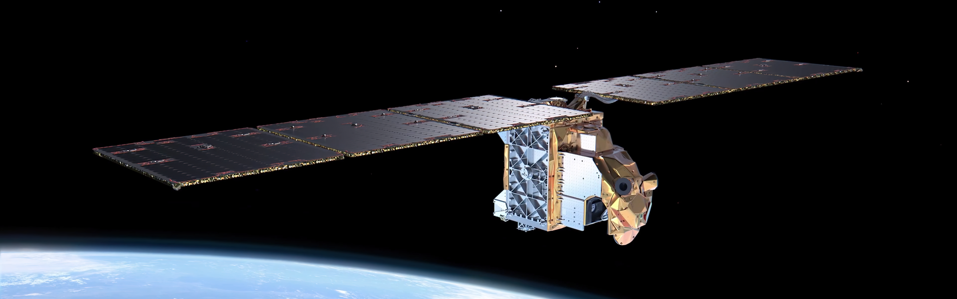
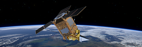
Sentinel-1
A radar mission providing all-weather, day-and-night imaging, Sentinel-1 delivers data for sea-ice monitoring, oil spill detection, vessel tracking, and coastal change mapping. Its C-band SAR enables maritime domain awareness even under cloud cover or darkness.
Sentinel-2
Learn More >
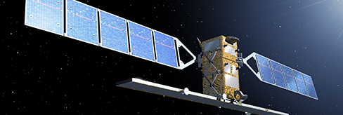
Sentinel-2
Sentinel-2’s multispectral optical imagery supports coastal and ecosystem monitoring, water quality assessment, and sediment tracking. Its high-resolution, 13-band instrument aids in identifying algal blooms, habitat changes, and coastal erosion.
Sentinel-3
Learn More >
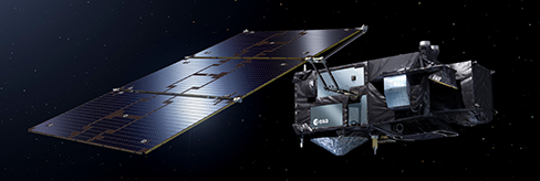
Sentinel-3
Focused on ocean and climate variables, Sentinel-3 measures sea-surface temperature, colour, and height, supporting applications in metocean forecasting, fisheries management, and pollution detection. It underpins biogeochemical ocean monitoring and sea-level studies.
Sentinel-5P
Learn More >
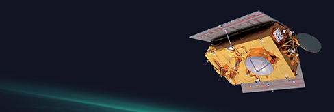
Sentinel-5P
Equipped with the TROPOMI spectrometer, Sentinel-5P monitors atmospheric pollutants such as NO₂ and SO₂ from maritime emissions. It supports compliance with IMO air-quality regulations and helps identify shipping emission hotspots.
Sentinel-6
Learn More >
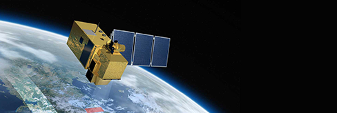
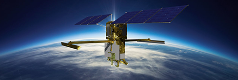
Sentinel-6
Sentinel-6 Michael Freilich continues the global sea-level climate record, measuring sea-surface height, wave height, and wind speed. Its data are essential for ocean modelling, climate assessment, and coastal resilience planning.
SWOT (NASA)
Learn More >
SWOT (NASA)
The Surface Water and Ocean Topography (SWOT) mission provides ultra-high-resolution measurements of ocean surface height, revealing small-scale circulation, eddies, and currents. This data improves forecasts for navigation, fisheries, and pollution transport.

Spire Global Constellation
Learn More >
Spire Global Constellation
Spire’s nanosatellites collect global data on ship positions, weather, and radio-frequency activity. Its STRATOS payload measures sea-surface conditions and atmospheric profiles, while MARITIME 2.0 delivers advanced global AIS tracking for vessel safety and security.

TerraSAR-X
Learn More >
TerraSAR-X
Germany’s X-band radar satellite offers sub-meter imaging for detailed vessel detection, oil-spill monitoring, and polar sea-ice mapping. Its all-weather capability supports coastal surveillance and environmental protection.

RADARSAT Constellation
Learn More >
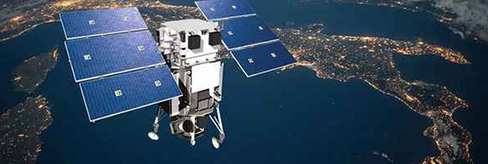
RADARSAT Constellation
Canada’s three-satellite C-band radar system provides wide-area imaging for ship detection, ice monitoring, and oil-spill response. It enhances maritime situational awareness in high latitudes and across the Atlantic basin.

ICEYE
Learn More >
ICEYE
A commercial microsatellite constellation providing rapid-revisit radar imaging for maritime intelligence. ICEYE detects vessels, oil slicks, and flood events in near-real time, supporting security and emergency response.
WorldView
Learn More >
WorldView
Maxar’s WorldView series delivers ultra-high-resolution optical imagery (as fine as 0.3 m), used for ship identification, port monitoring, and coastal infrastructure analysis. It complements radar data with true-colour, multispectral views.

PRISMA
Learn More >
PRISMA
Italy’s hyperspectral mission captures detailed spectral information across 239 bands, enabling detection of pollutants, sediment plumes, and ecosystem changes in coastal and nearshore waters.

Meteorological Satellites (Meteosat, GOES, JPSS)
Learn More >
Meteorological Satellites (Meteosat, GOES, JPSS)
These geostationary and polar-orbiting systems continuously observe the atmosphere–ocean interface, providing real-time data on storms, sea-surface temperature, and weather patterns critical to maritime forecasting and safety.
